UPDATE: NYC DOT is cancelling our workshop originally scheduled for Tuesday, February 24 due to inclement weather. In lieu of this event, we will integrate a detailed presentation of and feedback about eastern Queens routes into our previously-scheduled February 26 workshop.
On February 24th and 26th, NYC DOT will host its second route alternatives workshop for the Queens Waterfront Greenway Implementation Plan.
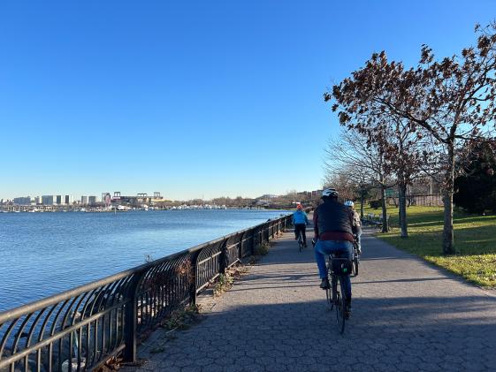
The New York City Department of Transportation (NYC DOT), in partnership with NYC Parks and the NYC Economic Development Corporation (EDC), is undertaking a planning process to close the gaps in current bike and pedestrian infrastructure in Queens and make it easier for residents to access parkland and waterways. When complete, the Queens Waterfront Greenway will constitute a continuous, 16-mile corridor connecting Gantry Plaza State Park to Astoria Park along the East River and continue to Fort Totten following the Long Island Sound.
The Implementation Plan will outline a comprehensive strategy to create a continuous and accessible waterfront path by identifying a series of short-term and long-term projects that the city will undertake. Queens residents will shape the plan through a community-based process. In 2024, we held four public workshops documenting existing conditions. Using what we learned during that process, this year, we're collecting community feedback on a series of proposed routes.
Each workshop will collect community feedback within specific geographic areas.
- CANCELLED: Tuesday, February 24, 6-8pm, Glow Cultural Center (133-29 41st Ave): Willets Point to Fort Totten.
- Thursday, February 26, 6-8pm, Zoom: Full geography (Gantry Plaza State Park to Fort Totten). Register here.
You can view our presentation from the first workshop - which covered from Bowery Bay/LaGuardia Airport to Willets Point - here. And you can see the presentation from our second workshop - which covered from Gantry Plaza State Park to Bowery Bay/LaGuardia Airport - here.